06 September 2023 | Tourism
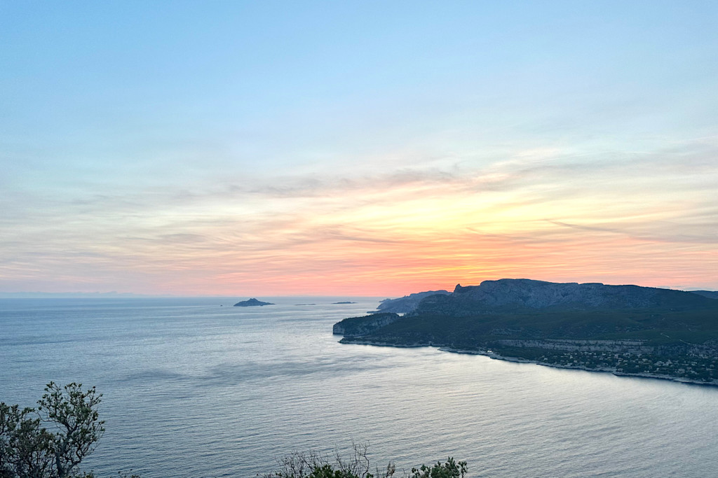
Route des Crêtes, between Cassis and La Ciotat
The Route des Crêtes is a long winding road that connects La Ciotat to Cassis and is part of the Calanques National Park.
A breathtaking view of the Mediterranean
Belvederes are set up along the road to allow you to admire the exceptional panorama that awaits you. You will be able to see the Bay of La Ciotat, the Ile Verte in the background, the massif of the Calanques which plunge into the sea, and in good weather you will be able to see the chain of the islands of Marseille. A walk:
While walking you can admire the Natural Bridge (natural arch dug by erosion), the Dent du Chat, as well as the Semaphore which dates from 1791 and is located at an altitude of 349m. The Route des Crêtes has been the location of film shoots. In addition, it was cited in the book Les Plus Belles routes de France by Stéphane Rotenberg.
Calanques National Park
Discover the green island:
You can reach the green island from Port-Vieux by shuttle in 15min. More information on the internet: laciotat-ileverte.com.
Mugel Park:
Mugel Park is located at the level of an ancient delta of a river that flowed here a hundred million years ago.
The Calanque of Figuerolles:
Less popular than the calanque le Mugel, it has nothing to envy to its neighbor, it is the most photogenic place and is a delight for sports enthusiasts: in search of climbing, diving or kayaking.
The Mugel Calanque:
Unlike the Calanques of Marseille and Cassis, the Calanques of La Ciotat are distinguished by an ocher-colored rock called the poudingue. You will also find hikes to do around the Route des Crêtes:
Soubeyrannes cliffs
Buckle 394
Semaphore > Cap Canaille
Find the details of the hikes directly on the site.
ID card
The Route des Crêtes was inaugurated in 1964 and serves La Ciotat and Cassis with its highest point at 399m. 17 kilometers.
